Questions LLC
Login
or
Sign Up
Ask a New Question
Technology
Aviation/ Aircraft
Navigation/ Mapping
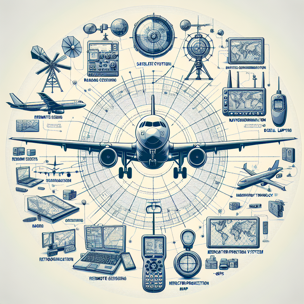
Aircraft technology facilitated the development of which of the following?(1 point)Responsesremote sensingremote sensingGISGISMercator projection mapsMercator projection mapsGPS
1 answer
Aircraft technology facilitated the development of remote sensing, GIS (Geographic Information System), and GPS (Global Positioning System).
You can
ask a new question
or
answer this question
.
Related Questions
Which of the following is typically part of the knowledge base of research and development scientists working on heating devices
Aircraft technology facilitated the development of which of the following?(1 point) Responses GIS GIS GPS GPS remote sensing
Which method of showing Earth's surface is the most accurate?
A. An equal-area projection B. A scale-model globe C. A Mercator
Aircraft technology facilitated the development of which of the following?(1 point) Responses GIS GIS Mercator projection maps
Which of the following types of maps shows correct shapes and directions but distorts distances or sizes?
(1 point) Responses
Why would a geographer choose a Robinson projection for a reference map in a textbook?(1 point)
Responses The Robinson projection
Which map projection is most useful for navigation, especially near the equator. Explain
The map projection that is most useful
Why would a geographer choose a Robinson projection for a reference map in a textbook?(1 point)
The Robinson projection creates a
Why would a geographer choose a Robinson projection for a reference map in a textbook?(1 point)
Responses The Robinson projection
a projectile shot at an angle of 60 degrees above the horizontal strikes a building 80 ft away at a point 48 ft above the point