Create an image representing a virtual field trip to the Civil War era's Andersonville Prison. Illustrate an overhead view of the historical prison site nestled within the landscape, emphasizing its geographical features such as the terrain, the nearby water source, and the isolation from busy city areas. This image should provide the visuals needed to understand why this location might've been chosen for a prison site in the Civil War era. Make sure the whole image is void of any text and be sure to exclude any potentially distressing or graphic scenes.

Watch Life in the Civil War’s Andersonville Prison

Complete the Andersonville Virtual Field Trip.
Why do you think the geographical location of Andersonville was chosen?

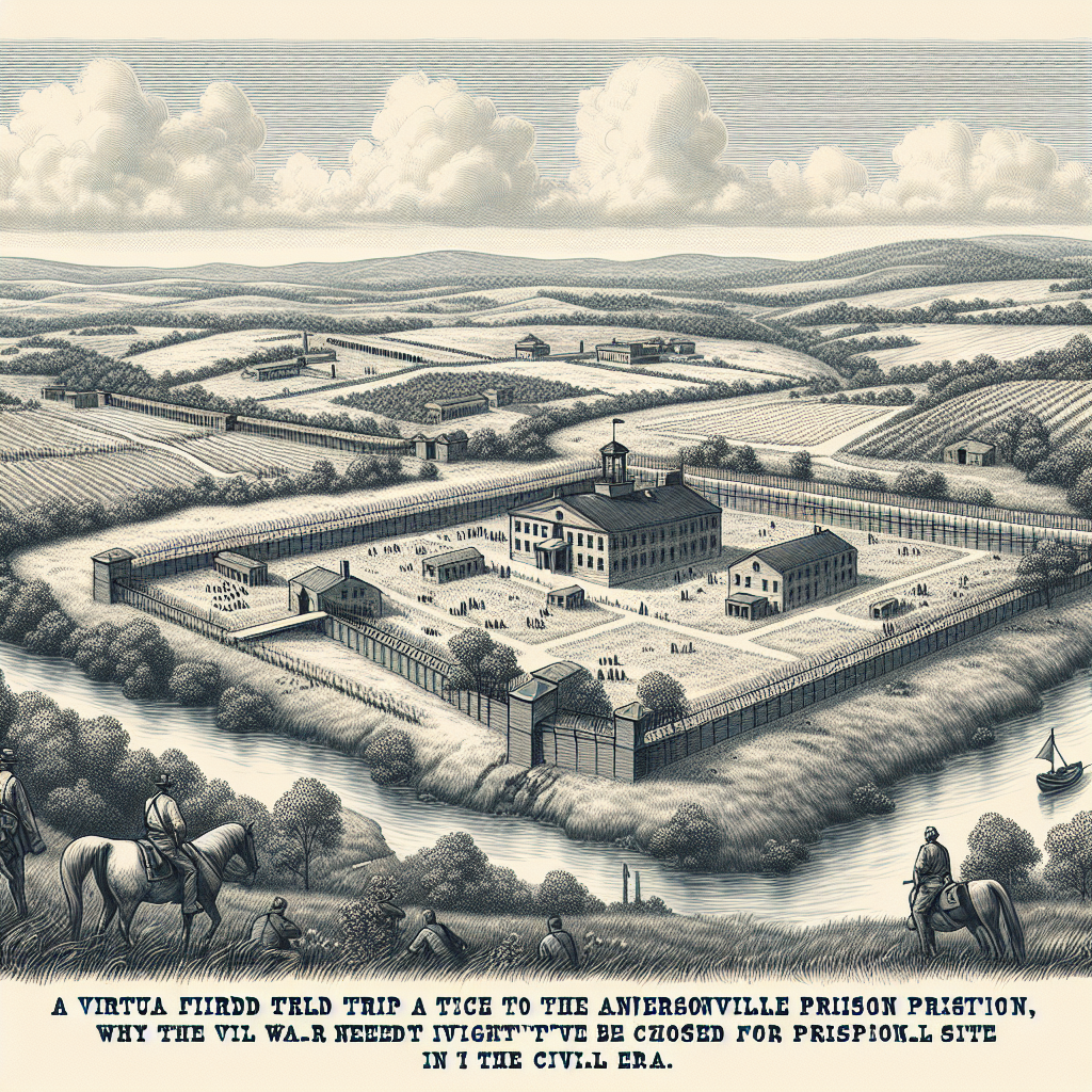
The geographical location of Andersonville was chosen for several reasons. Firstly, it was located deep within the Confederate territory, making it more difficult for Union forces to reach and attack. Secondly, it was situated in a rural area with dense forests and swamps, which provided natural barriers and made the prison difficult to detect or approach. This ensured that the Confederate authorities could maintain control and prevent prisoners from escaping. Additionally, Andersonville was located near a railroad, which allowed for easier transportation of supplies and provisions for the prison.