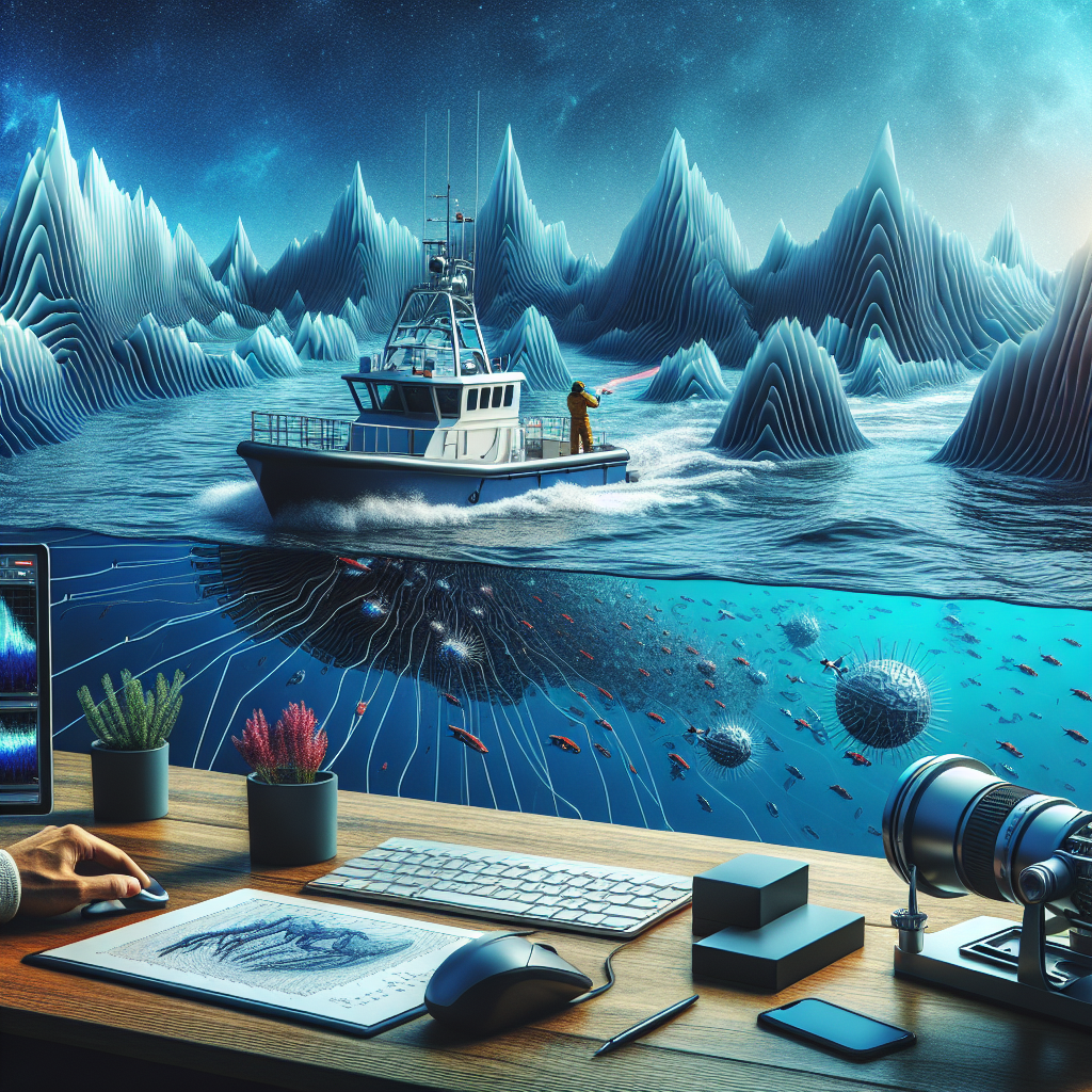
Create an appealing image illustrating the concept of sonar mapping of the ocean floor. The scene should depict a research boat with a sonar device sending out waves into the ocean depths, reflecting off various underwater features like ridges, trenches and seamounts. Make sure to replicate an advanced technology environment on the boat, with computer screens and equipment for the researchers to analyze the data. However, ensure the image is devoid of any text.

Which data is used to make a sonar map of the ocean floor

1. The time it takes for a pulse to bounce from the ocean floor

2. The Atlantic Ocean is getting larger, while the Pacific Ocean is getting smaller.
3. Younger rocks are warmer and are located closer to mid-ocean ridges
4. Age
100% CORRECT LIKE THIS IF U GET A 100!

ill be back with the anwsers in 10mins get online if u want them.

THANK YOU SO MUCH

to pretty to know my name is %100 right!! thank you!

Thx 🙏

DUDE D:

Sonar data is used to make a sonar map of the ocean floor. Sonar data is collected by sending sound waves into the water and measuring the time it takes for the sound waves to bounce back. This data is then used to create a map of the ocean floor.