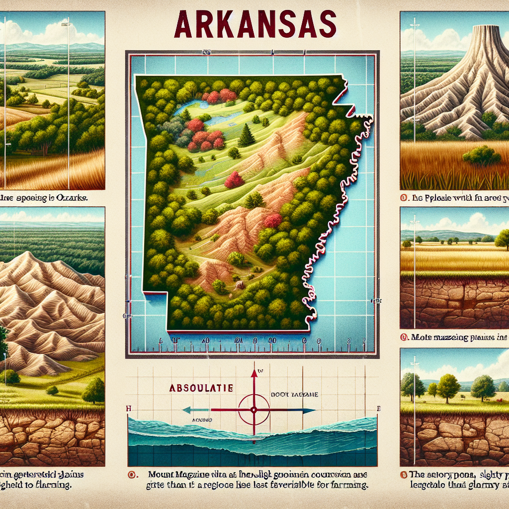
1. Why is it incorrect to say that the Ozarks are mountains?
A.They are too small to be mountains. They are hills
B.They are generally covered with trees. They are forests.
C.They are flat on the top with valleys eroded away. They are plateaus
D.They are not much higher than the surrounding countryside. They are rolling plains
2. What is the absolute location of Arkansas’s northernmost border?
A.33° north latitude
B.36° 30’ north latitude
C.33° north longitude
D.36° 30’ north longitude
3. Which region of Arkansas boasts Mount Magazine, the highest point in the state?
A.Ouachita Mountains
B.Gulf Coastal Plain
C.Crowley's Ridge
D.Arkansas River Valley
4. Which region of Arkansas would be the least likely to support a large farm?
A.Ouachita Mountain
B.Gulf Coastal Plain
C.Arkansas River Valley
D.Crowley's Ridge
I think it is a,d,a,d
c,b,d,d is the right answers
C,B,D,D is correct. Thank you!
Thanks! c,b,d,d was right.
thanks
thanks baily 100%
thx
yall think yall late and thanks baily
you saved my life thx bailey
A hill is considered a mountain after 2000ft and they are over 2000ft.
1 - yes
2 - I don't know
3 - yes
4 - I'm not sure. Recheck your text materials. Crowley's Ridge is mostly forested, but not as rough as the Quachita Mountains.